
Educational Program "Geodesy and Land Management" focuses on creating a high-precision digital twin of our world. Today, a specialist in this field is a Reality Capture Engineer and Land Governance Strategist. You are the one who uses laser scanners, GNSS satellites, and drones to transform physical space into 3D models and manage humanity's most valuable resource — land. Your activity targets will be digital city maps, point clouds of architectural masterpieces, intelligent cadastre systems, and orbital navigation constellations.
The goal of study is to turn you into a "spatial data architect" capable of measuring the world with millimeter precision. We will teach you laser scanning (LiDAR), digital photogrammetry, and land asset management powered by GIS technologies. This is the domain of Geomatics & Smart City, where coordinates intersect with Big Data. You will learn to create digital twins of infrastructure, design territorial community boundaries, and enable navigation for self-driving vehicles, laying the foundation for any construction and regional development.
Your superpower: In a world where every meter counts, you will possess Spatial Intelligence and Precision Engineering Mastery — skills to see the ideal geometry of space through any obstacle. Your professional arsenal will include:
- Satellite Geodesy (GNSS): working with global positioning systems to determine coordinates anywhere on the planet.
- BIM & Digital Twins: creating information models of buildings and cities for their virtual management.
- GIS-Analytics: developing interactive maps for monitoring environmental conditions, logistics, and urban planning.
- Legal Land Management: navigating land legislation and auditing territories for investment projects.
Our graduates are lead engineers at Google Maps and Uber, heads of land management departments, specialists in monitoring structural deformations of skyscrapers and bridges, and architects of state geoportals who keep every square centimeter of space under control.
Objects of professional activity for bachelor's graduates are the Earth's surface and objects on it; geodetic networks and state cadastres; remote sensing data; and geoinformation systems for land resource management.
Field of study: G Engineering, Manufacturing and Construction
Specialty: G18 Geodesy and Land Management
Educational Program: Geodesy and Land Management
Competitive offer: Geodesy and Land Management
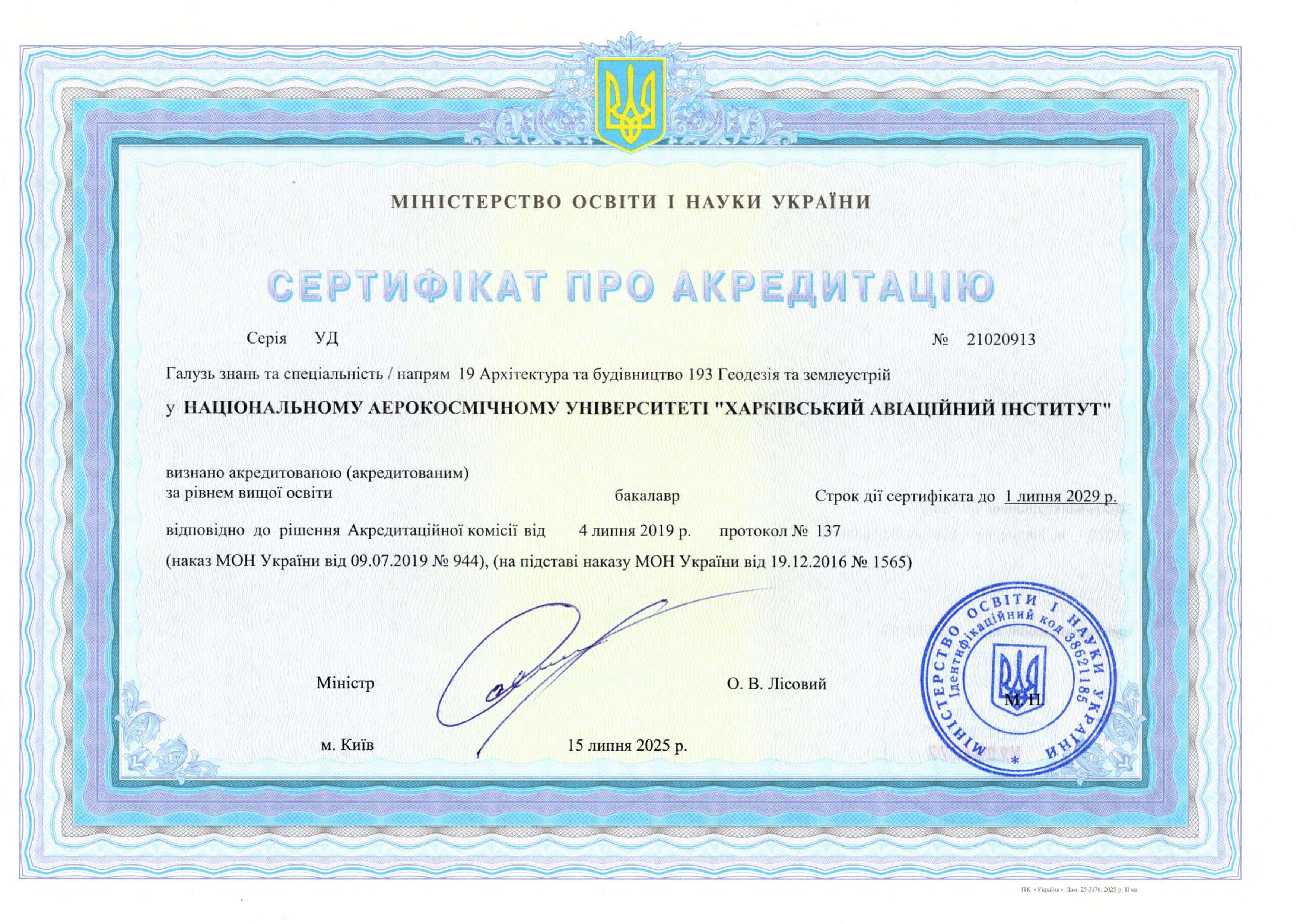
Accreditation Certificate: Educational program introduced in 2025. Extended certificate for specialty 193: UD №21020913 issued on July 15, 2025, valid until July 01, 2029.
Faculty: Faculty of Rocket and Space Technology
Graduating Department: Department of Geoinformation Technologies and Earth Space Monitoring (407)
Part-time study form available: no
Training of foreign citizens available: no